Tiedosto:I-80 (CA).svg
Siirry navigaatioon
Siirry hakuun

Tämän PNG-esikatselun koko koskien SVG-tiedostoa: 600 × 600 kuvapistettä. Muut resoluutiot: 240 × 240 kuvapistettä | 480 × 480 kuvapistettä | 768 × 768 kuvapistettä | 1 024 × 1 024 kuvapistettä | 2 048 × 2 048 kuvapistettä.
Alkuperäinen tiedosto (SVG-tiedosto; oletustarkkuus 600 × 600 kuvapistettä; tiedostokoko 21 KiB)
| Tämä tiedosto on tiedostotietokanta Wikimedia Commonsista. Tiedot kuvaussivulta näkyvät alla. | .svg?uselang=fi) |
Tiedoston kuvaussivu Commonsissa |
W3C-validity not checked.
Yhteenveto
| Kuvaus |
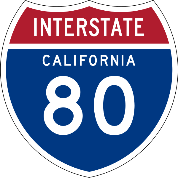
English: 24 in by 24 in (600 mm by 600 mm) Interstate shield, made to the specifications of the 1971 Caltrans sign drawing (still in use). Uses the Roadgeek 2005 fonts. (United States law does not permit the copyrighting of typeface designs, and the fonts are meant to be copies of a U.S. Government-produced work anyway.) Colors are from [1] (Pantone Red 187 and Blue 294), converted to RGB by [2]. The outside border has a width of 1 and a color of black so it shows up; in reality, signs have no outside border. |
| Päiväys | |
| Lähde | Oma teos |
| Tekijä | O |
Lisenssi
This file is in the public domain because it comes from the Manual on Uniform Traffic Control Devices, sign number M1-1, which states specifically on page I-1 that:
|
.svg) |

|
Tämä teos sisältää tavaramerkkisuojan piiriin kuuluvaa materiaalia. Ennen kuin käytät tai levität tätä teosta, varmista, että et riko tavaramerkkisuojaa teoksen käytöllä tai levittämisellä, sillä sinä olet vastuussa lain rikkomisesta. Lue myös vastuuvapauslauseke. Tämä malline ei osoita kuvan tekijänoikeustilannetta eli lisäksi tarvitaan normaali lisenssimalline. Lisätietoja varten katso Commons:Tiedostojen käyttösäännöt. |
Tiedoston historia
Päiväystä napsauttamalla näet, millainen tiedosto oli kyseisellä hetkellä.
| Päiväys | Pienoiskuva | Koko | Käyttäjä | Kommentti | |
|---|---|---|---|---|---|
| nykyinen | 22. syyskuuta 2011 kello 00.06 | | 600 × 600 (21 KiB) | Fredddie | spec says INTERSTATE legend is Series C |
| 29. heinäkuuta 2009 kello 22.38 |  | 384 × 385 (39 KiB) | T2 | Reverted to version as of 13:03, 23 July 2009 | |
| 29. heinäkuuta 2009 kello 22.36 |  | 601 × 601 (22 KiB) | T2 | update | |
| 23. heinäkuuta 2009 kello 16.03 |  | 384 × 385 (39 KiB) | T2 | Reverted to version as of 09:37, 25 March 2009 | |
| 20. heinäkuuta 2009 kello 20.51 |  | 384 × 385 (24 KiB) | T2 | update | |
| 25. maaliskuuta 2009 kello 12.37 |  | 384 × 385 (39 KiB) | T2 | update | |
| 2. tammikuuta 2007 kello 05.05 |  | 384 × 385 (33 KiB) | O | 24 in by 24 in (600 mm by 600 mm) Interstate shield, made to the specifications of the [http://www.dot.ca.gov/hq/traffops/signtech/signdel/specs/G27-2.pdf 1971 Caltrans sign drawing] (still in use). Uses the [http://www.triskele.com/fonts/index.html Roadg |
Tiedoston käyttö
Seuraava sivu käyttää tätä tiedostoa:
Tiedoston järjestelmänlaajuinen käyttö
Seuraavat muut wikit käyttävät tätä tiedostoa:
- Käyttö kohteessa en.wikipedia.org
- San Francisco Peninsula
- Alameda County, California
- Contra Costa County, California
- Nevada County, California
- Placer County, California
- Sierra County, California
- Solano County, California
- Northern California
- San Francisco–Oakland Bay Bridge
- User:Branddobbe/Temporary
- Richmond–San Rafael Bridge
- Transbay Tube
- Carquinez Bridge
- Benicia–Martinez Bridge
- Eastern California
- California State Route 80
- Transportation in the San Francisco Bay Area
- Interstate 80 in California
- Transportation in California
- User:Artisol2345
- Sacramento metropolitan area
- User:Timsabin/List of HOT and ETL lanes in the United States
- San Mateo–Hayward Bridge
- Talk:List of auxiliary Interstate Highways/Archive 1
- User:Gz260/Roads/I (USA)/Wikidata
- User:Kevon kevono/Started From the Bottom
- User:Morriswa/Highway sorted by location
- User:Ejells2/sandbox
- User:Elvatomasvato
- List of bridges in the United States
- Käyttö kohteessa es.wikipedia.org
- Condado de Alameda
- Condado de Contra Costa
- Anexo:Autopistas interestatales auxiliares
- Carreteras de Estados Unidos
- Condado de Nevada (California)
- Condado de Placer
- Condado de Sacramento
- Condado de Sierra (California)
- Condado de Solano
- Condado de Yolo
- Anexo:Carreteras estatales de California
- Ruta Estatal de California 79
- Interestatal 5 en California
- U.S. Route 101 (California)
- Ruta Estatal de California 82
- Interestatal 80 (California)
- Wikiproyecto:Estados Unidos/Carreteras/CA
- Ruta Estatal de California 4
- Interestatal 505
- Interestatal 580 (California)
Näytä lisää tämän tiedoston järjestelmänlaajuista käyttöä.
.svg)
.svg)